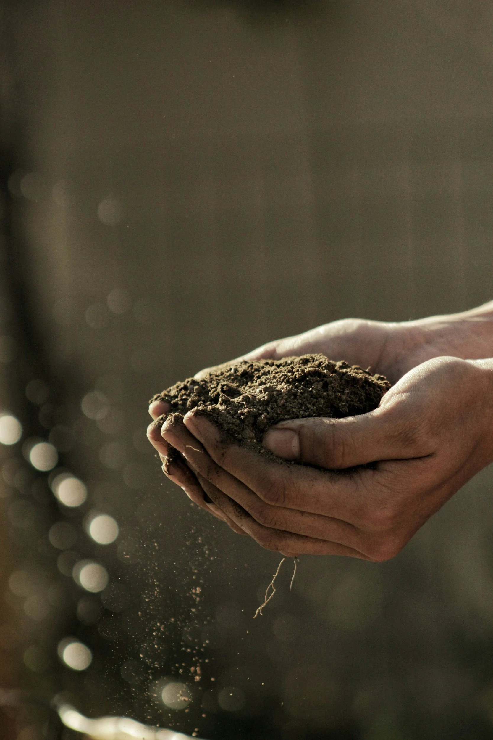
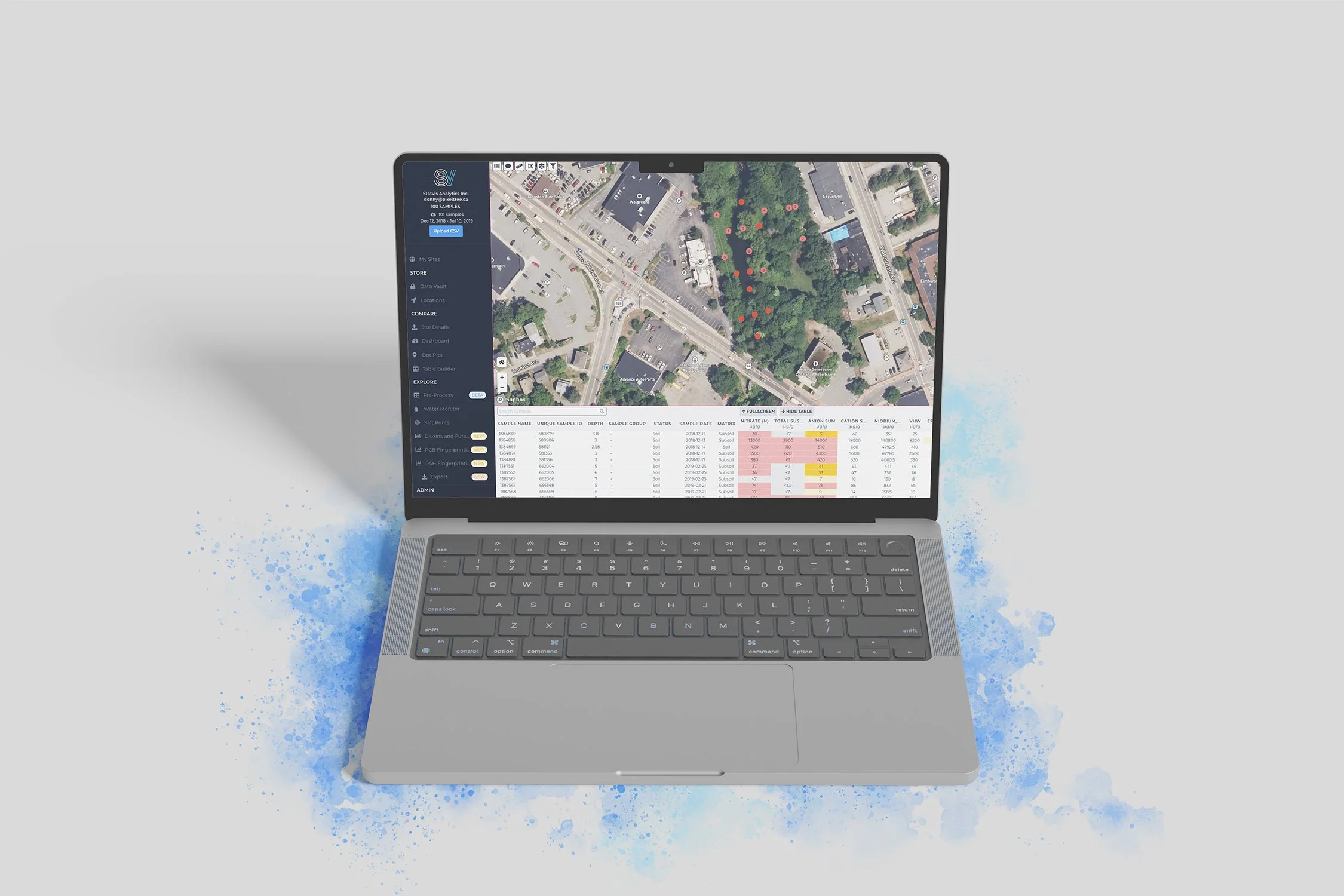
Statvis is a dynamic environmental tool that provides data on soil samples and geographic sites.
As a data visualization and environmental monitoring tool designed for professionals who work with field data, soil science, and geographic information systems (GIS), users create sites and input sample data. Viewing sites reveal detailed graphs, charts, and spreadsheets for easy analysis.
What Statvis Does
-

Personal Data Vault
The Store Module makes it easy to manage everything that has been uploaded to the site, review and search data, create groups and assign samples to them. Every major lab has a data format that works well to get analytical data into Statvis quickly.
-
Compare Soil Samples
The Compare Module has everything you need to compare your samples to applied guidelines quickly. Look at the site as a whole or pick specific parameters and areas of interest. Create formatted tables or visuals for use in your reports.
-
Simplified Data Analysis
The Explore Module helps you determine data distribution, replace non-detects, fingerprint salts and polycyclic aromatic hydrocarbons. We have automated this complex science to make it fast and intuitive to use.